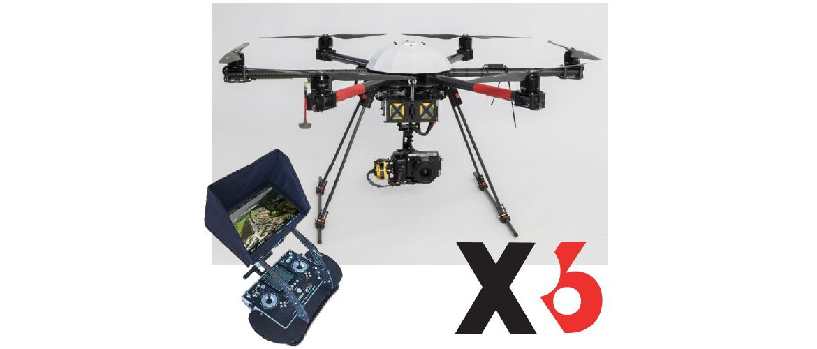
Aerial Inspection and Mapping Surveys is a complete remote, non-contact surveying and mapping solution dedicated to providing a detailed and professional service.
Utilising the Wingtra One PPK the safest and most accurate VTOL drone, for mapping and surveying.
Combining vertical take-off and landing with long range flights, it carries the best in class cameras. This sets the new benchmark for survey grade accuracy.
Eliminating the use of Ground Control Points from the work flow, by activating the state of the art PPK, we now produce one centimeter accuracy and superior reconstruction results.
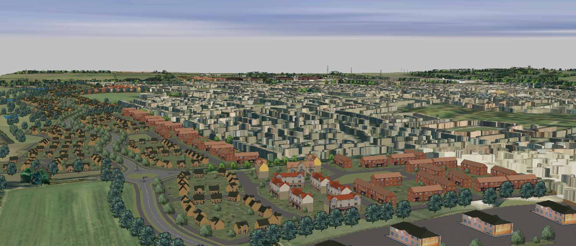
Start making better decisions today, based on accurate aerial data
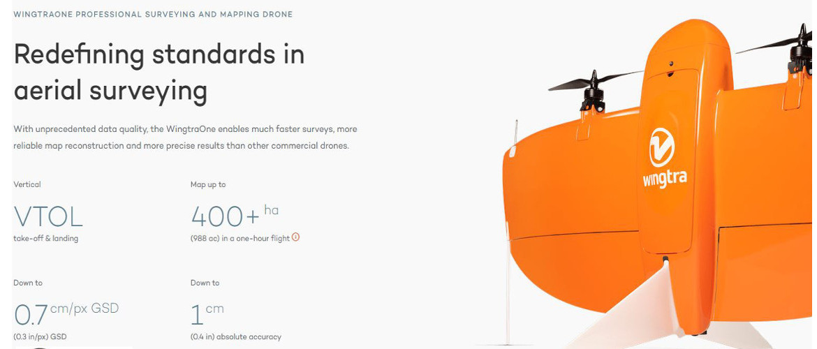
Survey Grade Mapping Accuracy

The First Choice Should Be Remote Non-Contact Surveying
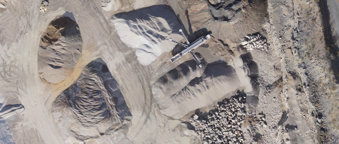
Make better decisions with accurate aerial data.
Keep Safe! Be Remote!
Structural Investigation & Monitoring
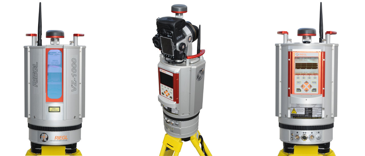
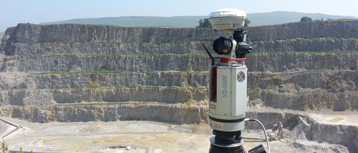
Worlds Best Terrestrial Laser Scanner